
Introduction to EOS-05 and Geosynchronous Orbit
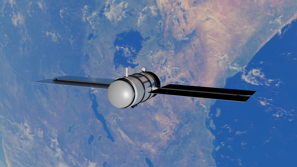
The Indian Space Research Organisation has achieved another significant milestone with the deployment of the EOS-05 mission. Transported into space aboard the GSLV-F17 launch vehicle, this spacecraft marks a notable technological leap for the nation. Unlike many traditional remote sensing instruments that operate in low Earth orbit, this particular satellite resides in a geosynchronous orbit. This specialized positioning allows the hardware to maintain a constant relative position to the surface below, ensuring continuous monitoring capabilities over specific regions.
Enhancing Weather Monitoring Capabilities
One of the primary objectives of the EOS-05 mission is to significantly bolster meteorological observation across the region. Traditional weather tracking often faces limitations due to gaps in data collection windows. By utilizing a geosynchronous vantage point, the satellite provides uninterrupted atmospheric data streams. Meteorologists and atmospheric scientists can utilize these continuous observations to track developing weather patterns, monitor storm systems with greater precision, and issue timely alerts regarding severe meteorological events.
Transforming Modern Agricultural Practices
Agriculture remains a cornerstone of the regional economy, and space technology plays an increasingly vital role in supporting farming communities. The imaging capabilities onboard EOS-05 are engineered to assist the agricultural sector through detailed land and crop observation. Agronomists can analyze vegetation health, assess soil moisture levels, and evaluate crop development stages across vast expanses of land. This high-resolution data empowers authorities and farming cooperatives to make informed decisions regarding irrigation, resource allocation, and harvest forecasting.
Optimizing Disaster Management and Emergency Response
Natural calamities require rapid response times and accurate situational awareness to minimize loss of life and property. The deployment of EOS-05 introduces a robust asset for disaster management authorities. Whether tracking the trajectory of cyclones, monitoring flood levels during monsoon seasons, or assessing the aftermath of seismic events, the satellite supplies critical imagery in near real-time. Emergency response teams can leverage this continuous stream of visual data to coordinate rescue operations, plan evacuations, and direct relief supplies to affected areas efficiently.
Advancing Space Technology Education for Students
For students and aspiring scientists, the successful launch of EOS-05 offers a compelling case study in modern aerospace engineering and satellite utility. Understanding how payloads function in geosynchronous orbits provides valuable insights into orbital mechanics and remote sensing technologies. As India continues to expand its footprint in space exploration, missions like EOS-05 highlight the multidisciplinary nature of space science, combining physics, data analytics, environmental science, and engineering to address real-world challenges.