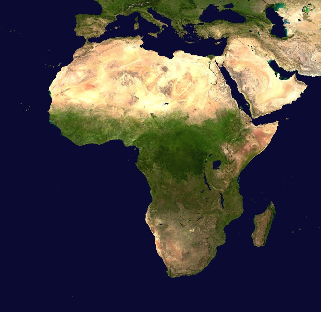

Google recently disabled an experimental tool within its geospatial ecosystem after researchers demonstrated that the technology could be used to create highly convincing, synthetic satellite imagery. The brief availability of the feature raised immediate alarms regarding the potential for large-scale disinformation and the erosion of trust in digital cartography.
The incident occurred when a new AI-integrated tool, intended to assist with architectural visualization and terrain modeling, was found to allow users to generate fake geographical features with minimal effort. According to technology analysts, the ease with which these “satellite deepfakes” could be produced represents a significant shift in the landscape of digital deception.
The Intersection of AI and Geospatial Data
For decades, satellite imagery has served as a primary source of ground truth for journalists, environmentalists, and intelligence agencies. The ability to verify events on the Earth’s surface from space has been a cornerstone of modern transparency and global accountability.
However, the rise of generative artificial intelligence has introduced new complexities to this field. Generative Adversarial Networks (GANs) and diffusion models can now synthesize textures, shadows, and structures that are nearly indistinguishable from real-world photography to the untrained eye.
Reports indicate that the Google tool inadvertently streamlined this process, allowing users to alter existing landscapes or create entirely new ones. This capability, while useful for urban planners or game developers, also opened the door for malicious actors to fabricate evidence of military activity, environmental changes, or civil unrest.
Rapid Backlash and Security Concerns
The decision to pull the tool followed a wave of criticism from the geospatial intelligence community. Experts argued that the existence of such a tool could compromise the reliability of Open Source Intelligence (OSINT), which relies heavily on satellite data to track global events.
According to official reports, the primary concern was not just the creation of fake maps, but the speed at which they could be disseminated. In a high-stakes geopolitical conflict, a single convincing deepfake of a destroyed hospital or a mobilizing army could trigger rapid, irreversible escalations.
Researchers at various cybersecurity firms noted that current detection methods for AI-generated imagery often struggle with the top-down perspective of satellite photos. Unlike human faces, which have specific biological markers that AI often fails to replicate, geographical features are more abstract and easier for algorithms to mimic convincingly.
Impact on Global Information Integrity
The potential for spoofing satellite imagery extends beyond military applications into the realms of economics and environmental policy. For instance, fake imagery could be used to exaggerate the effects of a drought to manipulate commodity prices or to hide illegal deforestation from regulators.
Industry experts suggest that the incident highlights a growing tension between the tech industry‘s push for creative AI tools and the necessity for data integrity. As AI becomes more embedded in consumer software, the risk of unintended consequences grows exponentially.
The brief window in which the tool was active has already prompted calls for stricter regulations on generative tools that handle sensitive data types. Some advocacy groups are now urging tech giants to implement mandatory watermarking or blockchain-based verification for all satellite-derived content.
What to Watch Next
Google’s quick reversal suggests that the company is taking the risks of AI-generated disinformation seriously. Moving forward, the tech giant is expected to refine its safety protocols and implement more robust filtering mechanisms before re-releasing similar features to the public.
In the broader tech industry, the focus is shifting toward the development of “provenance” standards. Organizations like the Coalition for Content Provenance and Authenticity (C2PA) are working to create digital signatures that track the origin and edit history of an image, ensuring that users can distinguish between a real photograph and an AI-generated fabrication.
As these technologies evolve, the burden of verification will increasingly fall on the platforms that host and distribute visual data. The challenge for the coming years will be maintaining the utility of AI in mapping while safeguarding the world’s collective perception of reality.
Disclaimer: This article is published for general news and informational purposes only. While every effort has been made to ensure accuracy, readers are advised to verify important information from official sources. The publisher shall not be responsible for any loss or inconvenience arising from reliance on the information published.