
Revolutionizing Agriculture Through Advanced Technology
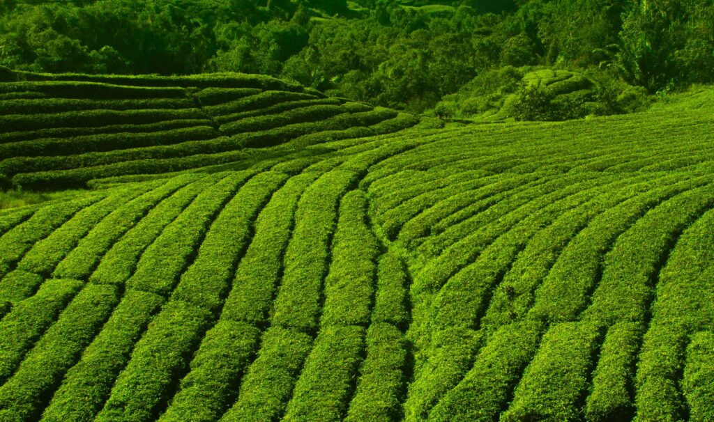
India is taking a massive leap forward in modernizing its agricultural sector by introducing advanced technological solutions to traditional farming practices. In a landmark collaboration, the Tea Board of India has officially partnered with the National Remote Sensing Centre operating under the Indian Space Research Organisation, alongside the academic expertise of the National Institute of Technology in Rourkela. This strategic alliance aims to engineer an artificial intelligence powered framework specifically designed to oversee and manage tea cultivation areas across the country.
The initiative brings together space exploration capabilities, advanced data analysis, and institutional knowledge to transform how large agricultural estates are supervised. By integrating cutting-edge technical tools into everyday agronomy, the collaborative effort seeks to address long-standing challenges faced by growers and administrators alike.
Establishing a Formal Partnership
The foundation of this ambitious project was laid through the signing of a tripartite memorandum of understanding between the three participating entities. This formal agreement outlines the framework for research, development, and eventual deployment of the digital monitoring architecture.
Representatives from the governing board, the national space organization, and the technical institute have combined their unique strengths to create a comprehensive solution. The project leverages space-based observation data collected by satellites and pairs it with machine learning models developed by academic researchers. This integration aims to provide precise, real-time insights into crop health and soil conditions.
Integrating Space Technology with Artificial Intelligence
At the core of the new initiative is the combination of remote sensing data and artificial intelligence algorithms. Satellite imagery offers a broad perspective on land use, canopy coverage, and environmental changes over expansive geographical regions. When processed through machine learning networks, these images can reveal patterns that are otherwise invisible to the naked eye.
The system is intended to track various parameters crucial for successful crop yield. By analyzing spectral data from orbit, the platform can evaluate vegetation health indices and detect early signs of stress caused by weather anomalies or nutrient deficiencies. This proactive approach allows farm managers to take corrective actions before minor issues escalate into major crop losses.
Enhancing Efficiency and Sustainability
The implementation of this technological framework is expected to bring substantial benefits to the domestic agricultural economy. Better oversight of cultivation zones leads to optimized resource allocation, ensuring that water, fertilizers, and other inputs are used precisely where needed. This efficiency not only reduces operational costs for growers but also promotes environmentally sustainable farming practices.
Furthermore, accurate data collection aids regulatory bodies in formulating better policies and support mechanisms for the industry. As the initiative moves from the planning phase to active development, stakeholders anticipate that the deployment of these smart tools will significantly boost productivity and safeguard the long-term viability of the sector.