
Understanding the Disaster Through Space Technology
Recent satellite imagery analysis provides a clear perspective on the catastrophic expansion of the Trishuli River in Nepal. Advanced remote sensing data captured by major mapping and satellite providers allows researchers to trace the exact geographical shifts that occurred during the disaster. By comparing historical geographic records with post-disaster captures, analysts have been able to map the dramatic transformation of the river basin.
The Trishuli River carried an enormous volume of heavy debris and mud during the event. This dense slurry intensified the destructive power of the rushing water, allowing it to easily overwhelm natural barriers and human settlements alike. Experts utilizing high-resolution geospatial tools have pieced together the sequence of events to better comprehend the magnitude of the overflow.
Evaluating the Geographic Expansion
Detailed comparative studies of the satellite data indicate that the river swelled to nearly six times its original width in certain vulnerable sections. This unprecedented expansion effectively transformed narrow river channels into wide, raging corridors of destruction. As the water volume surged beyond normal seasonal boundaries, it claimed vast stretches of adjacent land.
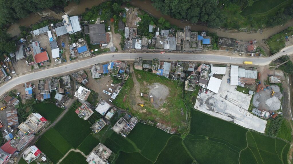
Residential structures located near the banks bore the brunt of the overflow. Geospatial assessments confirm that multiple homes were completely submerged or swept away by the aggressive currents and thick mudflow. The imagery highlights the extreme vulnerability of communities situated within the immediate floodplains of the waterway.
Implications for Future Disaster Management
Analyzing the shifts in the course of the Trishuli River offers critical lessons for regional planning and hazard mitigation. Urban developers and disaster response agencies can utilize these satellite insights to establish safer zoning laws and improve early warning systems. Recognizing how rapidly water bodies can expand under extreme conditions is essential for protecting riverside populations in mountainous regions.
The findings underscore the importance of continuous orbital monitoring in disaster-prone areas. High-frequency imaging enables rapid damage assessment and helps authorities direct rescue and relief operations more efficiently. As environmental patterns continue to evolve, leveraging advanced satellite technology remains a vital tool for safeguarding vulnerable communities across the region.