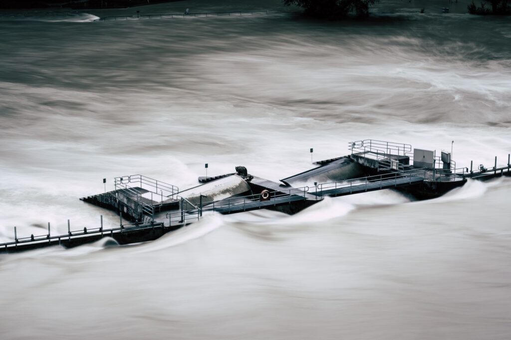

Current Monsoon Pressures Driving Immediate Floods
Heavy monsoon discharges are placing severe strain on water systems across northern India. Regions throughout Bihar and Uttar Pradesh are facing heightened flood threats as major waterways surge past critical thresholds. The rapid accumulation of water from seasonal rains has overwhelmed local drainage networks, leading to overflowing banks and widespread inundation in low-lying areas.
Water Level Monitoring of Major Rivers
hydrological data indicates that prominent waterways, notably the Ganga and the Ghaghara, have breached their established danger marks. Communities residing along these riverbanks are experiencing swift currents and rising water levels that threaten agricultural land, infrastructure, and residential settlements. State disaster management teams remain on high alert, continuously tracking hydrographs and deployment schedules to assist vulnerable populations.
Long Term Environmental Concerns in the Himalayas
While seasonal downpours trigger these immediate hydrological emergencies, broader environmental shifts continue to compound regional vulnerabilities. Observers point to the progressive reduction of Himalayan glaciers and frozen water reserves as a critical long-term concern. Over time, the systematic shrinkage of these mountain ice masses alters baseline hydrological cycles, potentially destabilizing river volumes and increasing the frequency of both extreme flooding and prolonged drought conditions.
Mitigation and Emergency Preparedness
Local authorities across both states are scaling up precautionary measures to safeguard residents. Relief camps are being established on elevated terrain, and evacuation protocols are being tested in high-risk zones. Coordination between meteorological departments and state agencies ensures timely dissemination of weather advisories, helping communities prepare for changing water levels and mitigating potential humanitarian crises.